|
| *****SWAAG_ID***** | 472 |
| Date Entered | 20/03/2012 |
| Updated on | 20/03/2012 |
| Recorded by | Tim Laurie |
| Category | Burnt Mound |
| Record Type | Archaeology |
| Site Access | Private |
| Record Date | 10/03/2012 |
| Location | Spring End. Juniper Rig. |
| Civil Parish | Grinton |
| Brit. National Grid | SD 95547 97111 |
| Altitude | 383m |
| Geology | Spring rise below sandstone escarpment above swallow holes marking outcrop of Middle Limestone. |
| Record Name | Burnt mound above Juniper Rig. |
| Record Description | Medium size burnt mound at edge of rushy marsh visible as a crescentic mound, turf covered but with a proved burnt fire cracked sandstone core. |
| Dimensions | 10m*8m*50cm high estimated |
| Additional Notes | This burnt mound is the fifth of these sites to have been recognised on the oucrpo of the Middle Limestone west of Crackpot and east of Cliff Beck. |
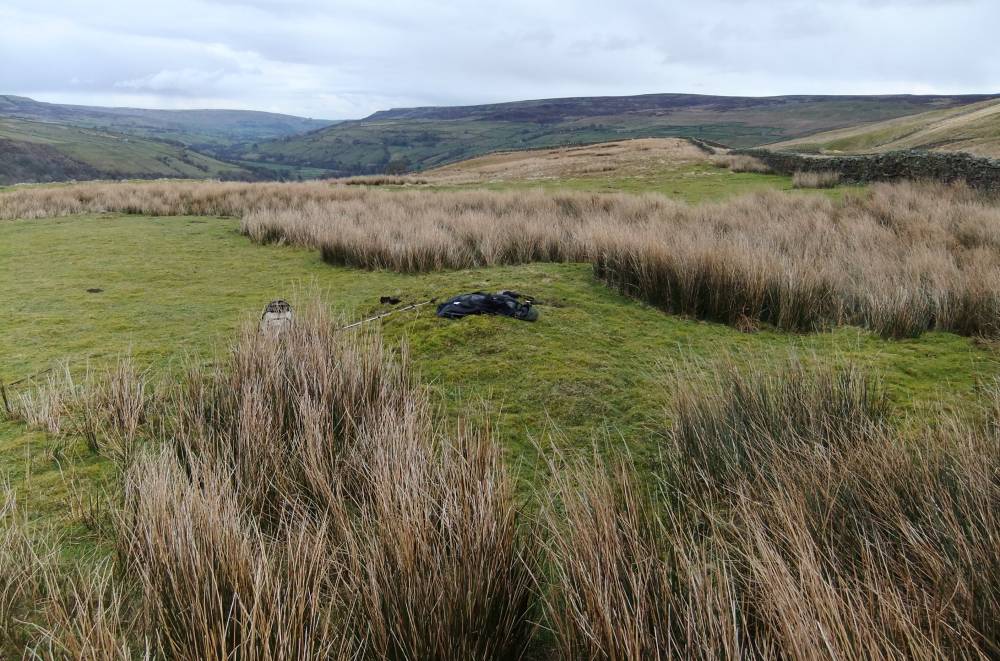
| Image 1 ID | 2363 Click image to enlarge |
| Image 1 Description | The burnt mound and view eastward down Swaledale. | 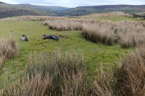 |
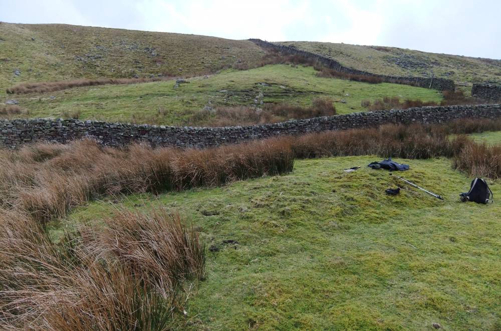
| Image 2 ID | 2366 Click image to enlarge |
| Image 2 Description | The burnt mound and view eastward. | 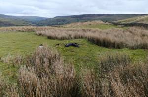 |
| Image 3 ID | 2364 Click image to enlarge |
| Image 3 Description | The burnt mound. | 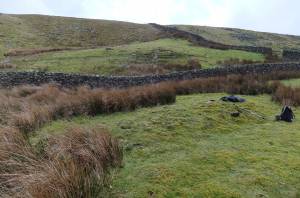 |
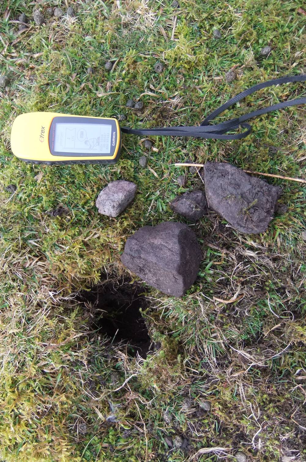
| Image 4 ID | 2365 Click image to enlarge |
| Image 4 Description | Burnt stone from rabbit scrapes. | 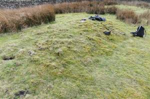 |
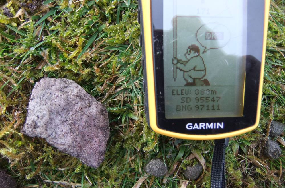
| Image 5 ID | 2367 Click image to enlarge |
| Image 5 Description | Burnt stone, detail |  |
| Image 6 ID | 2368 Click image to enlarge |
| Image 6 Description | |  |
| Image 7 ID | 2369 Click image to enlarge |
| Image 7 Description | Burnt stone detail | 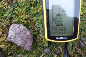 |